9 Tips Drone Photography in Labuan Bajo for Maximum Trip Documentation

Fitriyawati
May 19, 2026
10 min read
If you are planning a trip to Labuan Bajo and already imagining bringing your own drone to capture every moment from above, there is probably one question that comes to mind: “Will I be able to get stable and high-quality aerial footage in the quite dynamic natural conditions of Labuan Bajo?” This kind of concern is very normal, especially if you are not used to flying a drone in areas with rapidly changing winds, clusters of small islands, and lighting conditions that depend heavily on the time of day.
Because of that, before you actually take off, it is important to understand tips drone photography in Labuan Bajo. This article will cover a complete approach that you can use so your drone results become more directed, consistent, and ready to become travel documentation worth keeping in the long term.
Key Takeaways
- To get consistent drone photography results in Labuan Bajo, you need to understand that Labuan Bajo and the Komodo sailing area have different wind, lighting, and accessibility conditions. Because of that, every shot needs to be adjusted based on real field conditions, not just your initial plan.
- Golden hour around Padar Island and the surrounding waters of Komodo is usually the most stable time for drone takeoff, as the light is softer and wind movement tends to be more controlled compared to midday, especially when you are moving between sailing spots like Kanawa or Siaba.
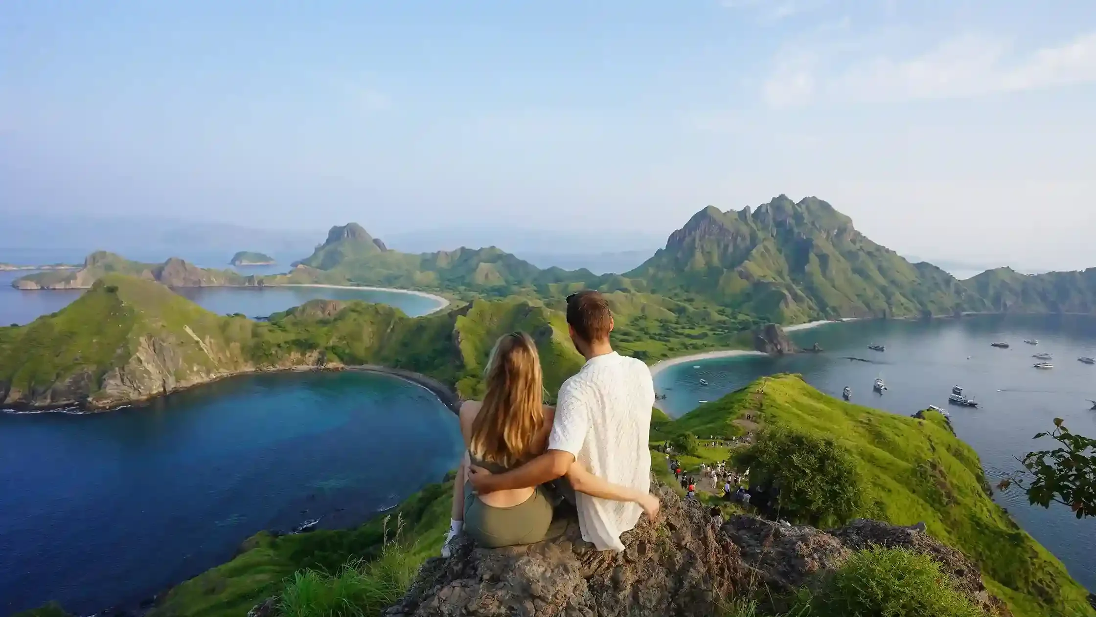
- Strong aerial composition in Labuan Bajo is usually formed through layering between the sea, small islands, and a moving phinisi boat, especially when you are on a Komodo sailing route that offers multiple perspectives within a single trip.
- Drone movement decisions in Labuan Bajo, such as orbiting around Padar Island or doing a reveal shot when approaching Taka Makassar, should always follow real time wind and light conditions, not only the shot list you prepared before the trip.
- Overall, drone photography tips in Labuan Bajo will be much safer and more effective if you have already anticipated SIMAKSI requirements, wind conditions in open areas, and flight ethics in the Komodo conservation zone, so your experience from Rinca Island to Pink Beach can run smoothly without operational issues in the field.
Tips Drone Photography in Labuan Bajo
Understanding natural conditions, shooting techniques, and how to read composition from the air is the main foundation for producing consistent drone footage in Labuan Bajo. Each location has different wind, light, and landscape characteristics, so your flying approach needs to be adjusted to avoid random results and keep everything well directed. If these three aspects are well understood, the shooting process will be much more efficient and the visual results will be more stable.
Here are drone photography tips in Labuan Bajo that you can directly apply in the field:
1. Make Sure Drone Permits Are Ready
Before you start imagining aerial shots from Padar Island or while sailing in the middle of the sea, the first thing you need to confirm is whether you need official permits such as SIMAKSI (Entry Permit for Conservation Areas) for drone usage in the areas you plan to visit in Labuan Bajo, especially if you are entering the Komodo National Park area. Some spots within this area have strict regulations, and drones cannot be used freely without approval from the managing authority.
To stay safe, you can follow these steps:
- Check whether your destination is part of Komodo National Park that requires SIMAKSI
- Arrange your drone permit before departure so you do not face issues on site
- Confirm drone permit requirements with your tour operator or travel provider
- Prepare alternative locations if the main area does not allow drone shooting
With this preparation, the process of drone photography tips in Labuan Bajo will go much smoother because you have already reduced technical and regulatory risks from the beginning of your trip.
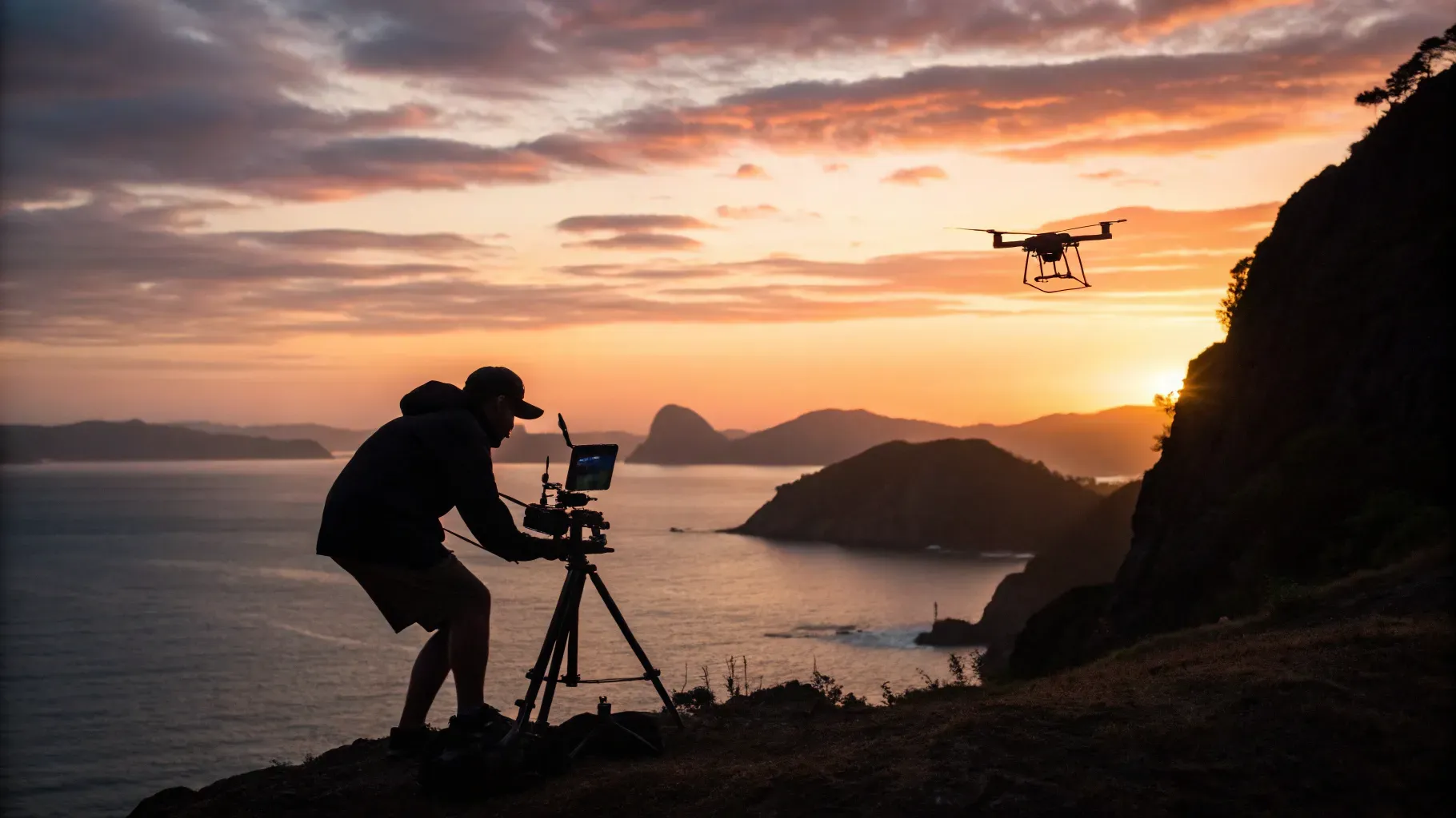
2. Choose Golden Hour as the Time to Fly Your Drone
Choosing golden hour as your main shooting time in Labuan Bajo is not only about visual aesthetics, but also about more stable technical conditions for drones. In the morning and late afternoon, the light is softer, so the drone camera does not have to work too hard to adjust exposure, while wind conditions are also often more friendly compared to midday.
As a traveler bringing your own drone, you need to realize that time at each spot is very limited, especially if you are on a sailing trip with a tight schedule. Because of that, golden hour often becomes the only best window to get consistent results.
For better results, you can consider:
- Sunrise for softer tones and calmer sea conditions
- Late afternoon for warmer sky colors
- Avoid midday because the contrast is too harsh and wind tends to be more active
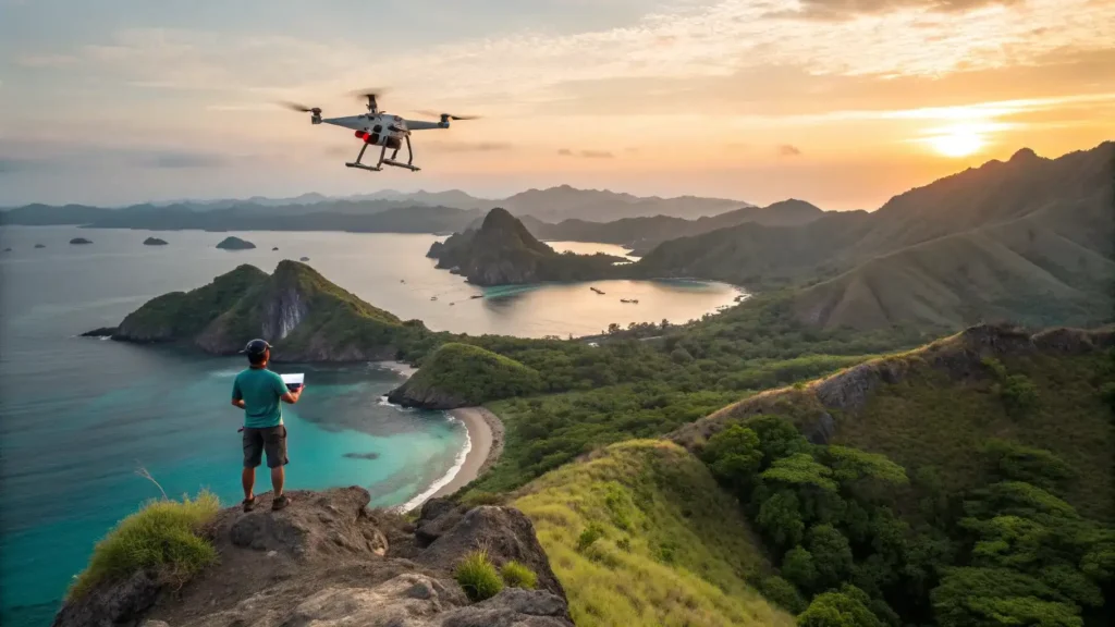
3. Build Composition Using Layering
Building composition using layering in Labuan Bajo means you are not only focusing on how high the drone flies, but also how elements like sea, islands, and objects such as boats are arranged within one frame that has depth. Many travelers only shoot from above without considering the relationship between elements, which makes the result look flat.
In practice, you will often find visual combinations such as blue sea as the base layer, islands as the main structure, and boats as elements that add scale. Once you start seeing scenes this way, your drone results will feel much more intentional.
Some simple approaches you can try:
- Use boats as the foreground to create scale
- Place the main island as the midground
- Let the sea horizon act as a clean background
4. Choose Drone Movement Based on Real Time Conditions
Determining drone movement in Labuan Bajo is not something you can finalize before takeoff, because conditions in the air often change faster than initial predictions on the ground. Once the drone is airborne, you can start reading wind stability, light direction, and available movement space to decide the safest and most effective type of shot.
In practice, movement decisions are always adaptive, not preset. In many cases, even a shot list prepared beforehand needs to be simplified once the drone starts flying because field conditions are not always ideal for all cinematic movements.
Common approaches used in the field:
- Use orbit when the drone is stable and wind is consistent
- Choose reveal shots to avoid unstable wind areas
- Use pull away for fast-changing conditions
- Prioritize static shots if conditions are too risky for movement
Read more: 6 Drone Spots in Labuan Bajo: Check Out the Best Recommendations Here!
5. Evaluate Wind and Environmental Conditions Before Turning On the Drone
Before turning on your drone, the most crucial step in Labuan Bajo is reading the environment directly on site, especially wind direction and strength, which can vary significantly between nearby locations. This stage determines whether a location is safe for takeoff or should be delayed for a few minutes.
In field workflow, this step is always treated as a “go or no-go decision” phase, because misreading initial conditions can affect drone safety and the quality of footage.
What is usually done before takeoff:
- Observe wind direction around the launch point
- Ensure the takeoff area is not too exposed or dangerous
- Wait for stable conditions if sudden gusts occur
- Choose an alternative nearby spot if the main location is not ideal
This approach makes drone photography tips in Labuan Bajo safer and reduces the risk of flight failure before shooting begins.
6. Use the Boat as a Main Element for Aerial Storytelling
Using the boat as a main element in aerial shots in Labuan Bajo helps you build a clearer visual story, especially when you are on a sailing trip. A phinisi boat moving between small islands provides scale context that cannot be achieved from an empty landscape alone.
For travelers, this is also one of the easiest moments to capture dynamic footage without moving locations too often. You just need to use the boat’s movement as part of the composition.
Some ways to maximize it:
- Tracking shot while the boat moves between spots
- Positioning the boat as the focal point in the center of the frame
- Combining the boat with islands as background layers
7. Use Manual Settings So Results Stay Consistent Across Locations
Using manual settings on your drone in Labuan Bajo is very helpful to maintain consistency, especially when you move from one spot to another in a short time. Changes in lighting at each location can make auto mode results look inconsistent, especially in sea and sky colors. As a traveler, you do not need overly complex settings, just focus on basic stability.
General recommendations:
- Low ISO to preserve detail
- Manual white balance so colors do not change constantly
- Shutter adjusted to video movement
- Use RAW if you want more editing flexibility
8. Use Top Down Shots to Capture Natural Patterns from Above
Using top-down shots in Labuan Bajo is very effective to show natural patterns such as sandbars, water gradients, or small island shapes that are not visible from the ground. One clear example is Taka Makassar, which has a very distinctive natural shape when seen from above.
In practice, top-down shots are usually done when the drone is already stable and wind is not too strong. This is important because fine patterns can easily be lost if the camera is moving too much.
You can focus on:
- Natural shapes of sand and water
- Sea color gradients
- Symmetrical composition from above
9. Maintain Flying Ethics as Part of the Travel Experience
Maintaining ethics when using a drone in Labuan Bajo is an important part of the travel experience itself, not just an additional rule. You are in an area that is environmentally sensitive and also active with tourism, so drone usage must always consider the comfort of others and the presence of wildlife. In addition, following instructions from guides or rangers on site also helps you avoid unnecessary problems during your trip.
Things to remember:
- Avoid flying too close to wildlife
- Do not disturb other tourist activities
- Follow local guide instructions at every spot
Read more: Drone Regulations & Flight Permits in Labuan Bajo & Komodo National Park
Capture Drone Moments in Labuan Bajo Without the Hassle with Labuan Bajo Productions
If you look back at all the drone photography tips in Labuan Bajo that have been discussed, there are several important things that actually keep repeating throughout the entire field shooting process. Starting from making sure you have drone permits and SIMAKSI before departure, choosing golden hour as the best flying time, understanding composition based on layering, adjusting drone movement based on real time conditions, and reading wind conditions before takeoff. On top of that, using boats as storytelling elements, manual settings to maintain consistency, using top down shots for natural patterns, and maintaining flight ethics in tourism and conservation areas, all of these eventually form one connected workflow that helps your aerial results become more stable and structured during your trip.
However, if you want a more practical experience without having to deal with too many technical details on the field, you can consider using a local trip documentation service such as Labuan Bajo Productions. With a team that is already experienced in handling field conditions in Labuan Bajo, you do not need to worry about adjusting angles, reading wind conditions, or chasing golden hour on your own because the entire documentation process is handled professionally from the beginning to the end of your journey. If you want your trip to focus more on enjoying the moment without losing well structured visual results, you can directly contact our team and book a Labuan Bajo trip documentation packagewith us, so every moment from both aerial and ground perspectives can be captured in a more consistent and structured way.

Related Article
Looking for Labuan Bajo Couple Session Photographer? Here Are the Tips, Pricing & Recommendations!
Are you and your partner looking for a Labuan Bajo
Are you and your partner looking for a Labuan Bajo couple session photographer to capture your special moments together? Whether
10 Tips for Underwater Photography in Labuan Bajo to Get the Best Results
Getting up close and personal with the underwater world of
Getting up close and personal with the underwater world of Labuan Bajo and capturing every moment of it is an
Looking For Diving Documentation Services in Labuan Bajo? Here are the Tips, Pricing & Recommendation!
Diving documentation services in Labuan Bajo are professional photo and
Diving documentation services in Labuan Bajo are professional photo and video services dedicated to capturing your scuba diving activities in